The governed data warehouse for exploration teams
Import drilling, assay, tenement, and spatial data into a PostgreSQL/PostGIS workspace with resource-scoped permissions, map-driven filters, audit, and controlled publishing into Canetoad.
Data warehouse
Register schemas, tables, columns, map views, imports, filters, and layouts in one metadata-backed workspace.
Fine-grained control
RBAC/FGA handles resources while PostgreSQL RLS remains the final tenant-data boundary.
Shared filter context
Move between server-backed grids, maps, saved filters, exports, and reports without rebuilding context.
Publish to Canetoad
Queue scoped map layers, reports, API surfaces, or artifacts with approval, expiry, and audit trails.
A warehouse built around mining data workflows
Puddle is not just file upload. It is a governed system for staging, validating, registering, and querying durable geological and spatial data.
Permissioning that is visible before data moves
Every resource shows what is allowed, what requires approval, and which boundary enforces access.
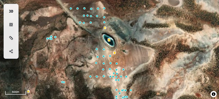
Grid, map, and filters share the same context
The map authors filters; the grid, exports, reports, APIs, and publish jobs consume the same scoped object.
depth_m >= 50
hole_type in RC,DD
geometry: polygon
          rows: 1,284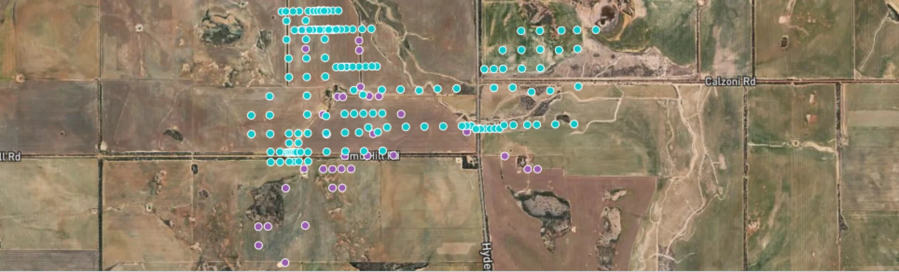
Publish governed data into Canetoad
Publishing is a controlled destination flow: review scope, queue a job, approve the destination, and preserve the audit trail.
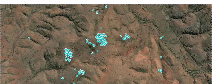
table: drilling.collars
filter: North block, depth > 50m
fga: table:query allowed
rls: org_id = acme, workspace_id = pilbara
publish: approval_required
audit: blocking
Authoritative data plane.
Registry for tables and filters.
Resource-scoped authorization.
Imports, exports, publish artifacts.
Bring your exploration data under control
Start with a governed workspace, import real project data, and publish only scoped outputs your team has approved.